Sunday, August 17, 2014

Pedaling from Durango to Moab - Day 7

August 16th

Route: Geyser Pass to Moab
Mileage: ~36 miles
Elevation gained: ~2200 ft.
Crashes: none
Regrets: none!

We woke up to a great sunrise.
Today was more about going down than going up. After clearing the pass, we were mostly descending over 7,000 ft. Into Moab. Nice.
Joe and Brice chose to ride "the whole enchilada" while the rest of us took the standard way down...... Trying to keep the injury tally at one...... That meant we split up right after we left the hut - we would meet back up with them in town.
Scenery was still mighty swell


Notice those blue skies?
Once we cleared the pass, it was a fast ride down on a gravel road. The better road meant we were getting closer to civilization.
Happy cows and Moab in the distance
A bunch more descending, and a little uphill grinding on pavement brought us to the Kokopelli trail. Our timing couldn't have been better because Joe and Brice dropped in from The Burro Pass to Hazard Trail option at the same time. Turns out it was a great route that we all would have liked. Oh well. Next time.

Jason bummed we didn't take Burro Pass
The group at start of Kokopelli Trail
Brice and Joe quickly split off to tackle the Porcupine Rim Trail and we continued down Kokopelli. Our ride was fun while it lasted (only a mile or 2 of single track), then it was back to speedy dirt roads. Scenery more than made up for the lack of single track.

Now it was getting warm....
By the time we hit Moab it was 102! We rested in the shade for awhile and then headed back over to the Peace Tree Cafe for a well earned lunch!
Somehow we made it back to Moab!

Saturday, August 16, 2014

Pedaling from Durango to Moab - Day 6

August 15th

Route: Paradox Valley to Geyser Pass
Mileage: 23 miles
Elevation gained: 5,400 ft!
Mud encounters: ...... Yes
Lost riders: none!
Wildlife encounters: deer, turkey, elk and Cooter*
* more detail to follow

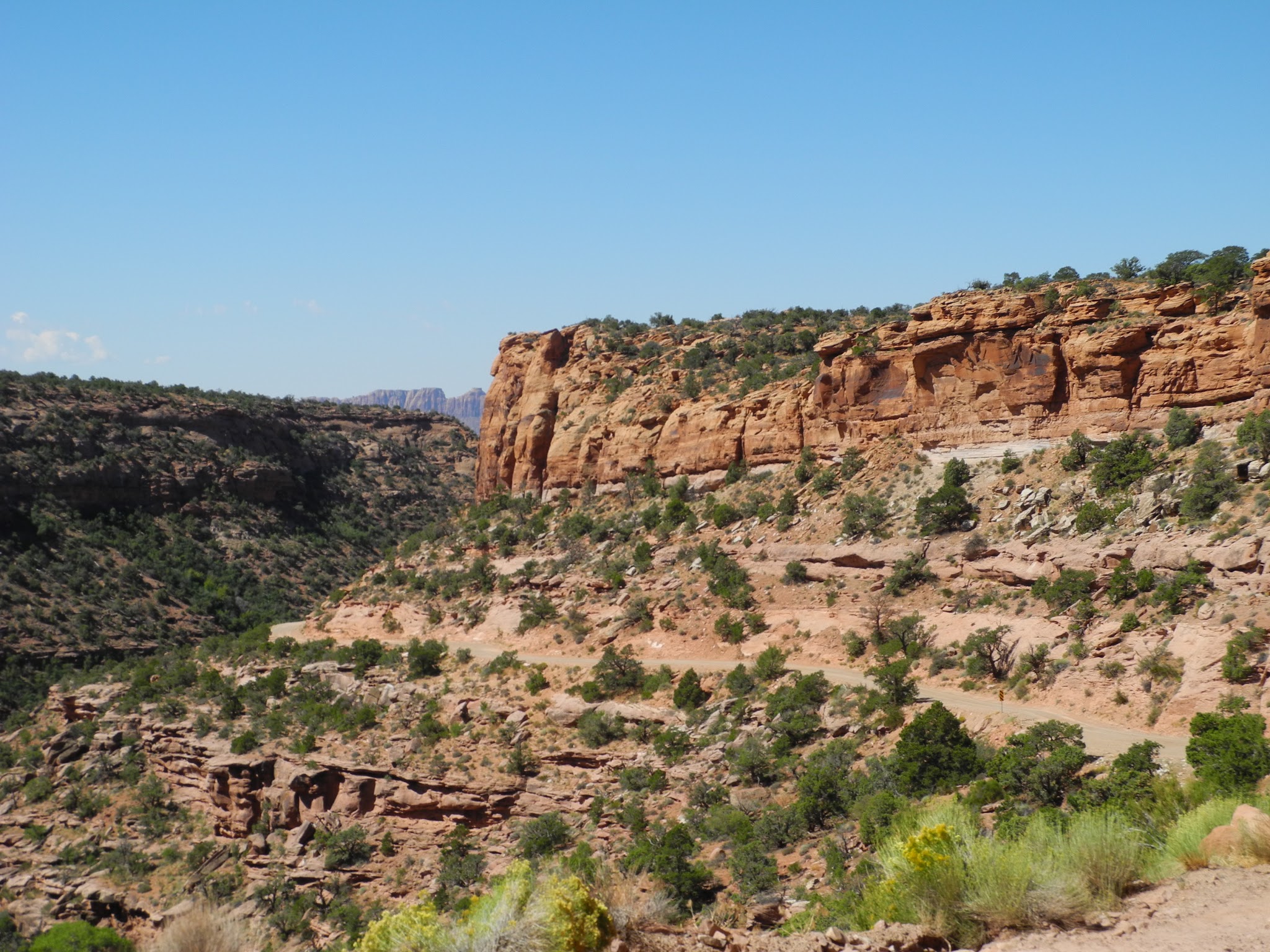
Rolling out of Paradox Valley


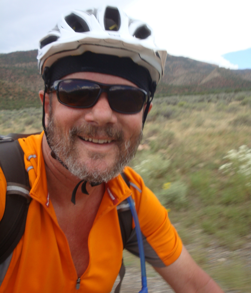
Today we started out with a pretty big climb right off the bat. The good news is that it got us out of the valley quickly.... The bad news was that the climbing was steep and on a road that had suffered some damage from the recent rains. But after being out for 6 days we were in good cycling shape and it really was just another day pedaling through some beautiful country.
Jason and Brice topping out on the first climb
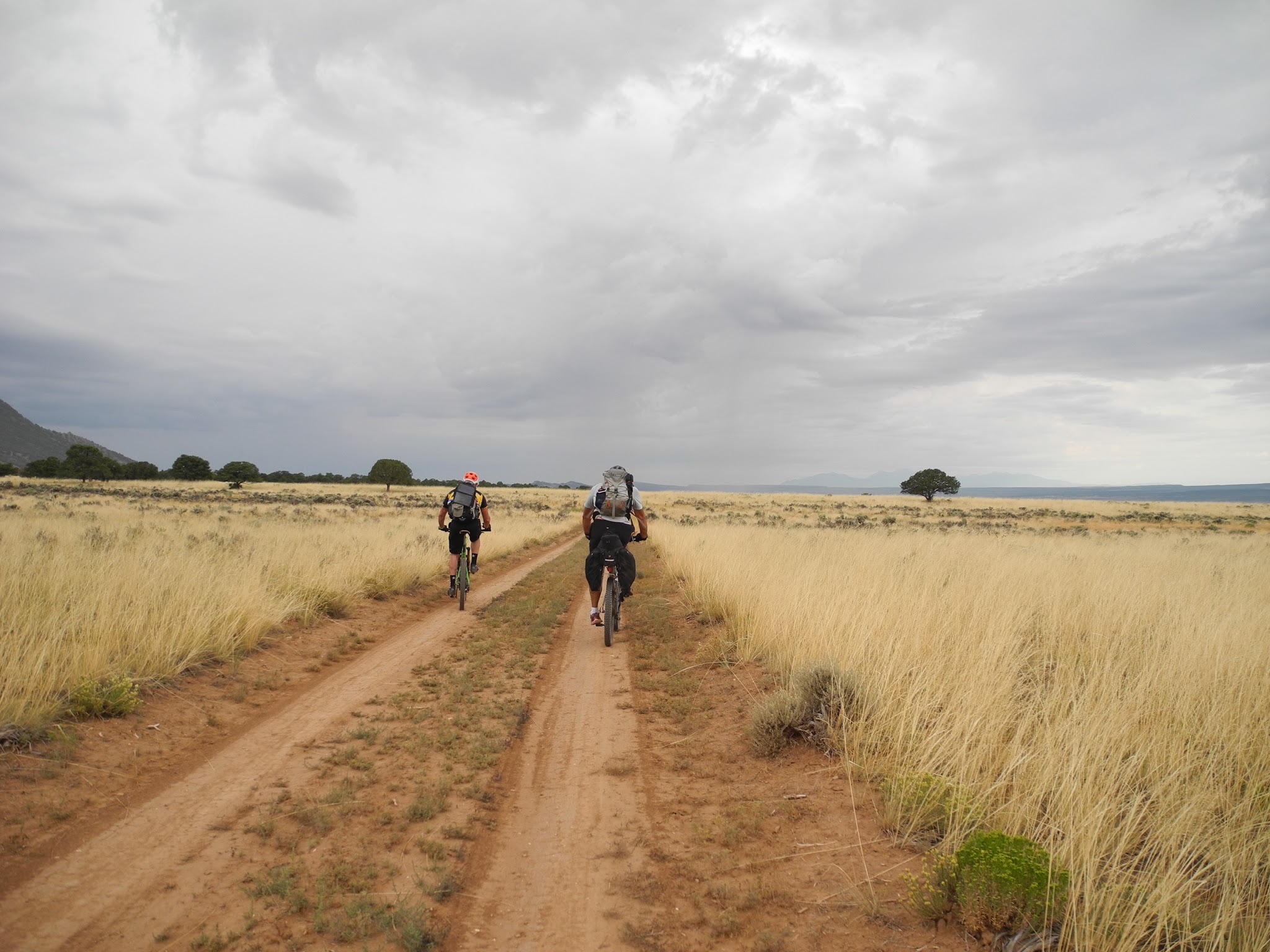
All seemed good. Minimal clouds, good road and we were getting back into the high country. Then, the mud came back. And it was stickier than before, so pushing your bike was not always an option if your tires could not rotate...... So we had a couple of less than fun hours pushing, carrying and scraping on our bikes.
Manti-Lasal roughly translates to "white man scraping mud"
Once we hit Buckeye Reservoir, the roads became sandier and our tires much happier. We stoped at the reservoir to filter some water, and could see a thunderstorm building right where we were heading. Nice.

Water stop

We'll be heading that-o-way
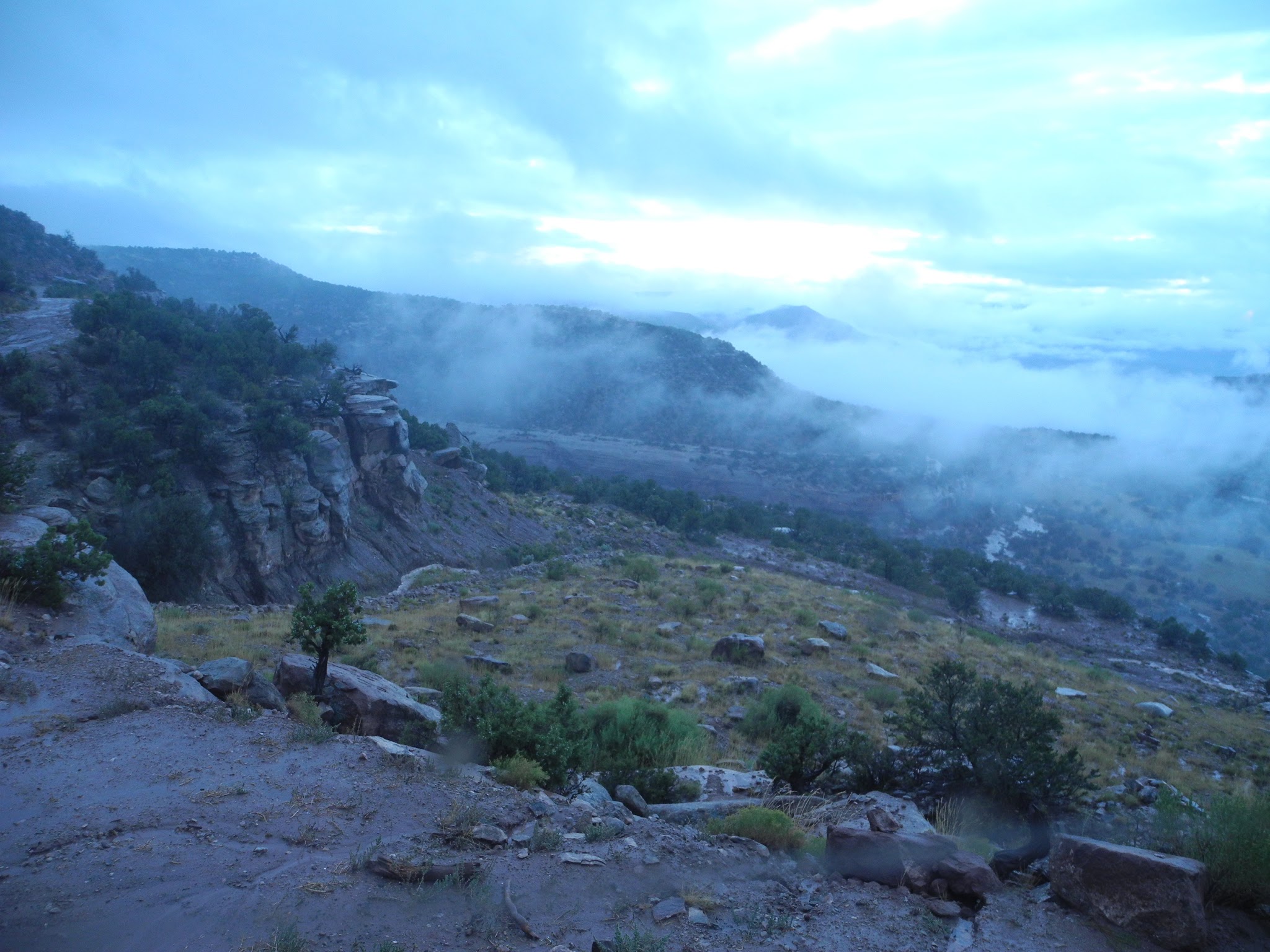
We continued to climb, and then we were in Utah.
As we continued to climb, we got a little more rain - but the roads were in good shape and it kept things a nice temperature.
Looks like we're on "Ponderosa Land"

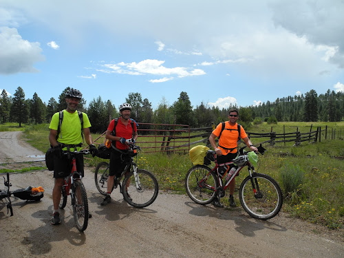
Hoss, Adam and Little Joe

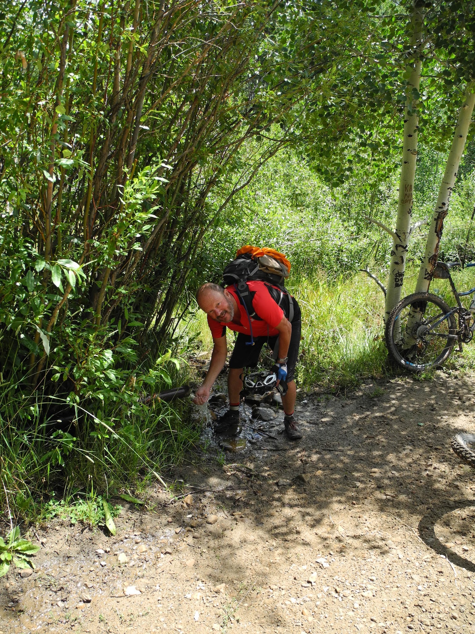
A few miles after we entered the Redd Ranch land, we located a spring (sorta close to where the map said it would be....) and stopped to get some fresh water. Nice place for a stop. John even had time to eat one of his cheese and mayonnaise sandwiches.
Bob loading up on some spring water
This is when we met a most interesting character. He was an older guy in flannel and overalls, and rolled up in a quad runner to fill his water jugs. He lives alone on the Redd Ranch land in a primitive cabin with no water or electricity (we surmised he did some work for/with ranch) Friendly guy. He offered us some cherries (which unfortunately had gone bad a few weeks ago - but we appreciated the gesture nonetheless). We also discovered that he ate a lot of squirrel and turkey, and relied on 2 of his "squirrel cats" to help fill the squirrel pipeline. The best part was when he showed us how call turkeys using a cigarrette box (Camels only) and a bic lighter. Having used a fancy turkey call when I was a kid (hunting with my grandpa), I was amazed at how well it sounded!
We never caught his name, but "Cooter" seemed to fit.
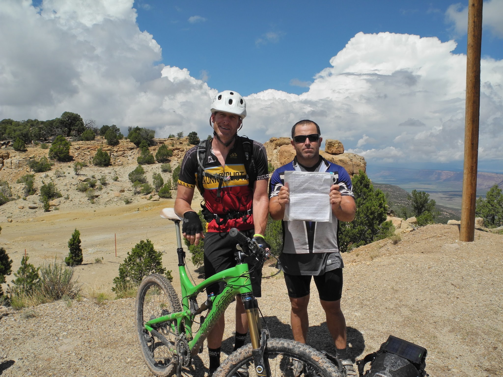
A bunch more uphill and some careful routefinding delivered us to our last hut - and no one got lost!
Geyser Pass hut

Great views to the west

Surrounded by aspens

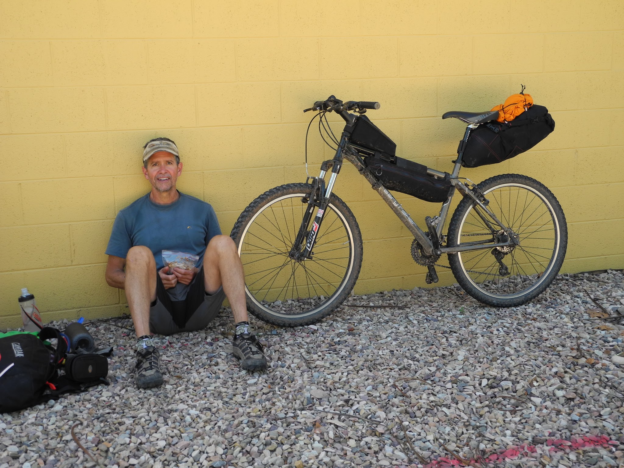
Big tire strategy session

Thursday, August 14, 2014

Pedaling from Durango to Moab - Day 5

August 14th

Route: Wedding Bell Hut to Paradox Valley
Mileage: ~33 milesElevation Gain: 3,100 ft.
Engagement with mud: frequent
Mud scraping sticks used: yes
Ominous start
The clouds that had been following us around for the last few days finally did some raining last night. 8 hours worth. Enough to wash out sections of the dirt roads we were on and shit like that. So today was going to be one where we couldn't just go charging out the door...... Measure twice, cut once. That kind of an approach. No one wanted a quick drop into the Dolores River. Or a vertical uranium mine shaft.Rather than leave early, we actually delayed our departure to allow some of the rain to drain, and to discuss our options. And load up on salted nut rolls. And bacon.By 8, the skies had started to show some patches of blue, and things looked OK. it was time to see how this was going to go.
All smiles.......
Adios Wedding Bell hut
It went pretty well. Some stretches were fine. Some were not. We all spent some time stopping to scrape mud out of the drivetrain, tires, brakes and whatnot. There were moments of darkness, but somehow the shared experience made it bearable. Didn't set any speed records, but had a lot of laughs.
INCOMING!!
2 down, 1 still moving
Jason getting his money's worth.... Check out that front derailer!
By around noon, the worst was behind us and we were up on a Mesa looking forward to dropping down into Paradox Valley.
Drying out after a steamy climb
Brice and Joe and the route sheet before heading down the "catch um up trail"
The rest of us booked down to HWY 90
While stopped at the (currently closed) Bedrock store, John used his world class people skills (he's a natural) to get access to a farmers water spigot so we could fill our water bottles and hose some of the mud off the bikes.
Closed? I wanted some f#%ing ice cream!

Then it was some easy riding on a series of dirt roads to our hut for the night.

Bob is all smiles as we near the hut
John enjoying the pavement - notice his "mud stick" on his rear rack
Pedaling in Paradox Valley

Near one of the beautiful ranches in the valley
Paradox Valley
Paradox Valley hut
The colorful drying tree

Beer and bike maintenance. Hut life
For the first time in several nights, we went to bed under clear skies. Maybe the rain was done?

Wednesday, August 13, 2014

Pedaling from Durango to Moab - Day 4

August 13th

Route: Dry Creek Basin to Wedding Bell Hut
Mileage: ~33 miles
Elevation Gained: 2,500 Ft.
Lost riders: None!
"we're riding there...." La Sal range can barely be seen on the horizon
Today, we put some effort into making our own good luck. The heavy rain from yesterday afternoon and evening, and the cloudy skies when we turned in for bed, prompted us to (a) choose the preferred route for rainy days (b) leave earlier so that we would be off the mud prone roads before the rains came (this was also the advice on the SJH route sheet, which we were learning to read thoroughly!). On the whole, we did pretty good and with the exception of Brice and Joe (who had taken the "Mexico Mines" single track alternate) and got about 30 minutes of rain at the end of the day - but that's all it took to create LOTS of mud. We were rolling a bit after 7 under threatening skies. Fortunately, the rain from last night had soaked in enough and mud was not much of an issue. We kept our fingers crossed and kept (gingerly) pedaling.
We definitely weren't in the mountains anymore
Heading towards highway 141
After getting through the first 10 miles of dirt roads without too many problems (or rain) we hopped onto the desolate highway 141 - the first pavement of the trip. This took us to the "gas roads alternate" and through some active natural gas extraction operations (aka "fracking"). Good roads and nice scenery (despite the occasional gas well) and a fun section of scenery between dirt roads.
Not bad, eh?
No rain = happy riders
A little more routefinding, a paved road here and there and pretty soon we were nearing the Dolores River and some outstanding views.
La Sal Mountains getting a little closer

Once we arrived at the hut, the views were spectacular! This hut had the best views of them all.
View of the Dolores river from the hut

Our humble hut
Porch life
Didn't mention running with scissors.....

With the exception of Joe and Brice (who got hammered during the last 30 minutes of their ride) we somehow dodged any significant rain. But.........As soon as we all crawled into bed at 8:00 that night it started raining - and it rained HARD all night. It stopped around daybreak, but knew our route would be pretty soggy and prepared ourselves for a long day.


This was the view that greeted us in the morning.... Notice the heavy runoff in mid left of picture